A moderate earthquake struck California's Central Coast in the early hours of Thursday morning, registering a magnitude of 4.6, according to data from the U.S. Geological Survey. The seismic event serves as a reminder of the state's persistent geological volatility, even as its political landscape faces other significant challenges, such as the ongoing legal battles between the state and the Trump administration over energy policy.
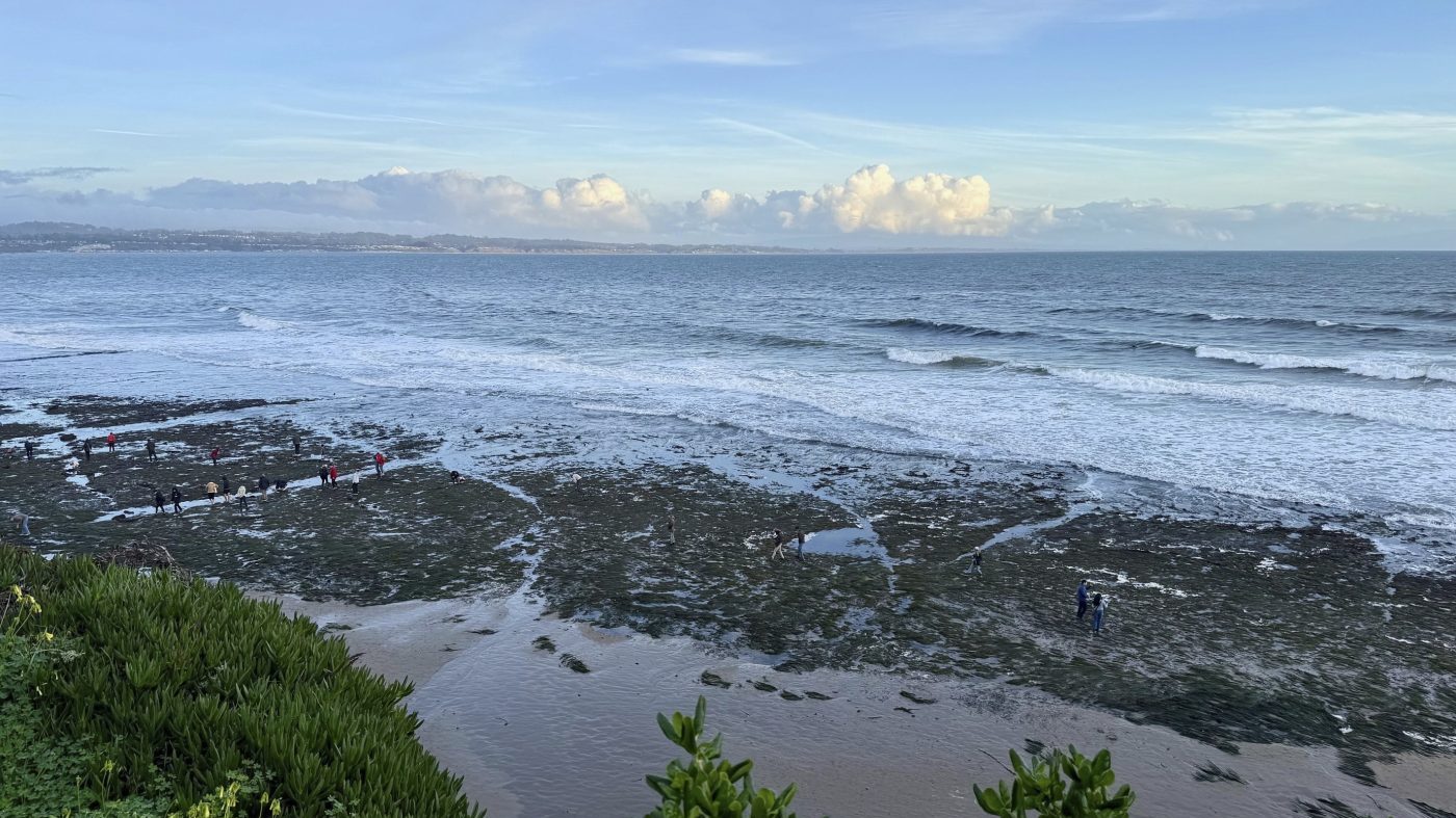
The tremor's epicenter was located near the unincorporated Santa Cruz County community of Boulder Creek, occurring at 1:41 a.m. Pacific Time at a depth exceeding 6.7 miles. Initially measured at 4.9 magnitude, the quake was later revised downward. The area, home to approximately 5,400 residents and situated about 68 miles south of San Francisco, experienced moderate shaking.

Shaking Felt Across the Region
Residents in several nearby towns, including Brookdale, Bonny Doon, Ben Lomond, Felton, and Mount Hermon, reported similar moderate ground motion. The shaking was felt as far north as the San Francisco Bay Area, where it registered as light, and reached weakly into inland communities like Concord and Sacramento.
In its official forecast, the USGS moved quickly to assess the ongoing risk. "According to our forecast, there is a less than 1% chance of one or more aftershocks that are larger than magnitude 5, which can be damaging, within the next week," the agency stated. Officials added, "The number of aftershocks will decrease over time, but a large aftershock can temporarily increase the number of aftershocks."
Quantifying the Aftershock Threat
The federal agency provided specific probabilities for follow-on seismic activity. It estimates a 38 percent likelihood of magnitude 3 or higher aftershocks—events large enough to be felt locally—within the next seven days. The chance of a magnitude 4 or greater aftershock is pegged at 6 percent. Furthermore, the USGS evaluation indicates a 2 percent chance that Thursday's tremor was a foreshock preceding a larger earthquake of magnitude 4.59 or greater in the coming week.
"There will likely be smaller aftershocks within the next week, with up to 4 magnitude 3 or higher aftershocks," the forecast reads. This geological unrest occurs against a backdrop of other state emergencies, including the ongoing wildfire battles that routinely test California's first responders.
The USGS reiterated standard safety protocol for seismic events, advising individuals to drop onto their hands and knees, cover their neck and head with one arm, and hold onto a sturdy object until the shaking ceases. Preparedness remains a constant theme in California governance, intersecting with debates over infrastructure and regulatory policy that often dominate the state capitol.
While this event caused no immediate reports of major damage or injuries, it underscores the ever-present seismic hazard in the nation's most populous state. Such incidents momentarily shift focus from the political arena, where contests like the GOP's strategic calculations for future statewide elections are being meticulously planned, back to the physical realities of California's geography. The state's complex relationship with its environment—from fault lines to energy resources—continues to shape both its daily life and its high-stakes political discourse.