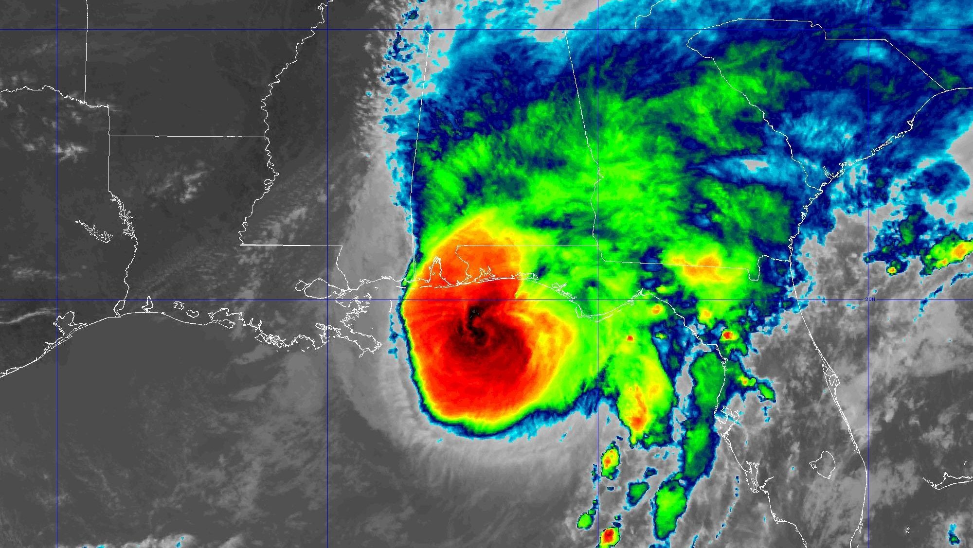
The 2026 Atlantic hurricane season is officially underway, spanning June 1 through Nov. 30. This year, the National Oceanic and Atmospheric Administration (NOAA) projects a below-average season, with fewer named storms than the historical norm.
NOAA’s seasonal outlook, released ahead of the June 1 start, points to atmospheric and oceanic conditions that suppress tropical development. While the agency has not yet detailed specific numbers, its below-average call contrasts with several recent active seasons.
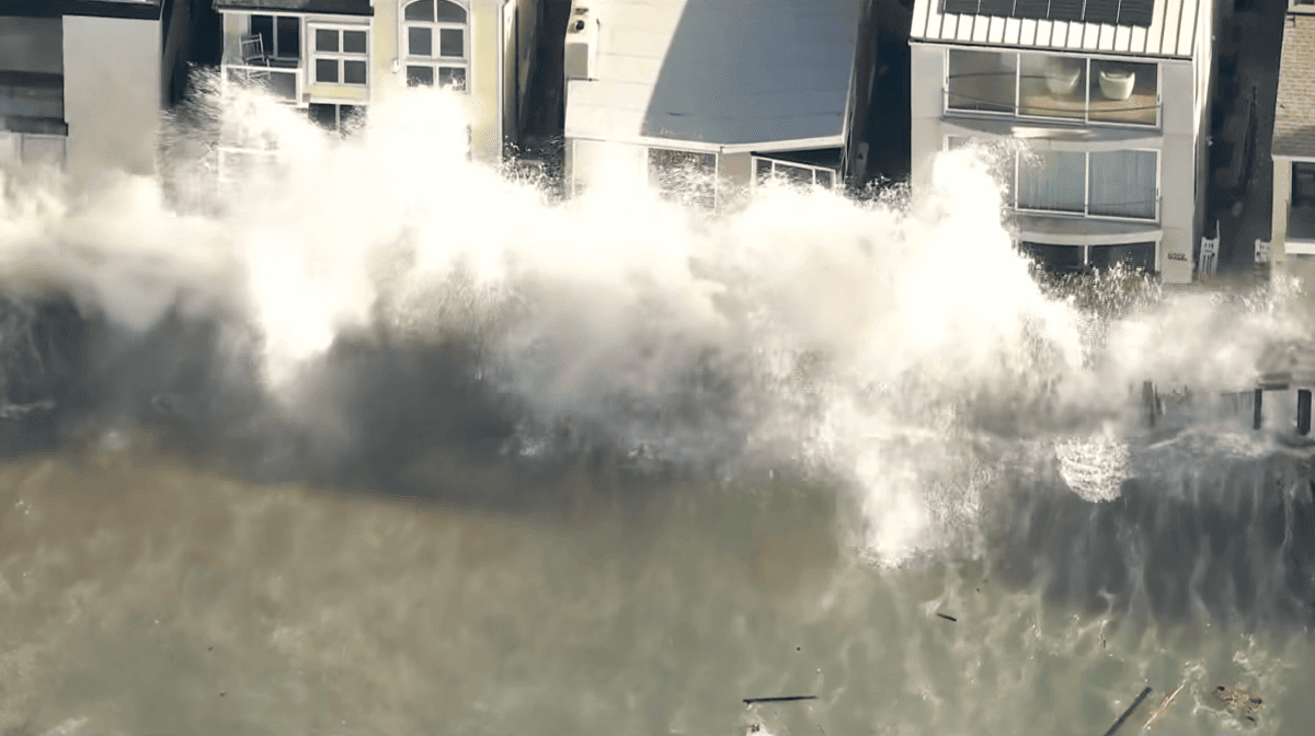
Our newsroom will track every tropical depression, storm, and hurricane that forms in the Atlantic basin. This timeline will be updated as systems develop, strengthen, or dissipate. For those seeking historical context, we maintain previous storm timelines from 2024 and 2025.
Forecasters caution that a below-average season does not equate to a risk-free one. A single landfalling hurricane can cause catastrophic damage, as seen in recent years. Coastal residents should remain prepared regardless of the seasonal outlook. Emergency management officials often recommend simple steps, such as storing water for emergencies, to mitigate risks during power outages or supply disruptions.
The human and economic toll of hurricanes is well documented. In 2020, Hurricane Isaias claimed its first Florida victim when a tree crushed a home, underscoring the dangers even from relatively weak systems. Such tragedies highlight the importance of heeding evacuation orders and preparing early.
Political leaders also respond to storm threats. During past seasons, campaigns and public events have been disrupted, including when Trump pulled out of a major football game as a hurricane approached. These decisions reflect the intersection of politics, public safety, and disaster response.
NOAA’s below-average forecast is based on a combination of factors, including sea surface temperatures, wind shear, and atmospheric stability. While the agency has not released a full breakdown, similar outlooks in the past have cited cooler Atlantic waters or El Niño conditions. Scientists continue to monitor whether El Niño conditions will persist through next spring, which could further influence storm activity.
As the season progresses, we will provide updates on each storm’s path, intensity, and potential impacts. Bookmark this page for the latest tropical tracker timeline. For now, residents along the Gulf and Atlantic coasts should review their hurricane plans and stay informed.