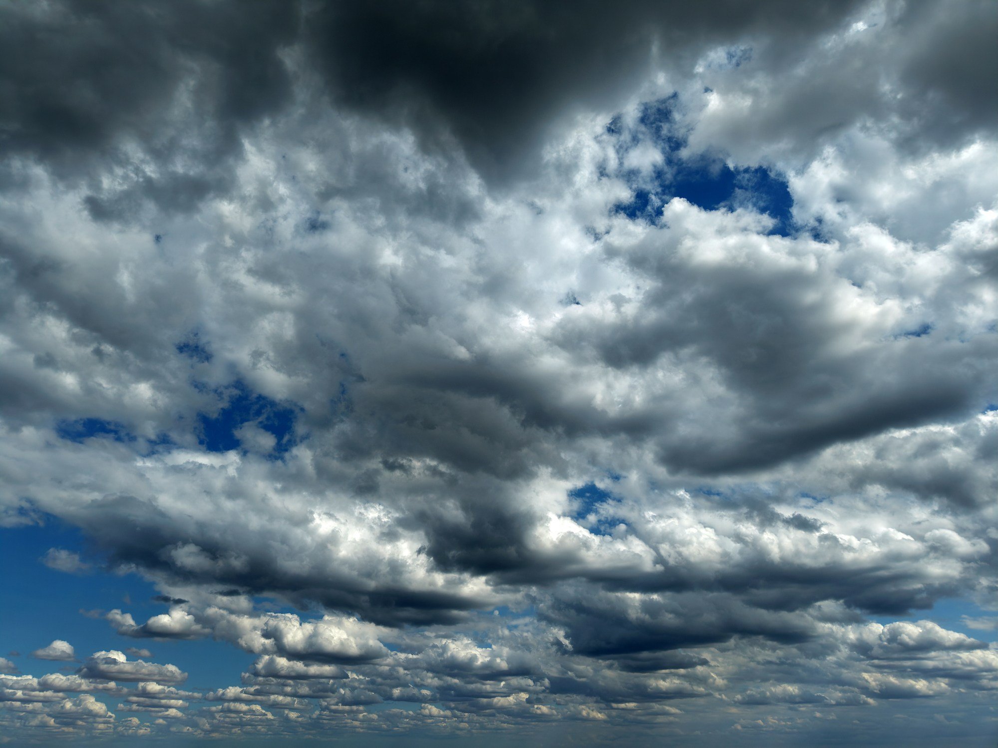
NASA is giving sky watchers more time to contribute to a citizen science project aimed at verifying data from its PACE satellite. The agency announced an extended deadline of Nov. 1 for the public to submit carefully timed cloud photographs, which will be used to cross-check what the spacecraft observes from orbit.
The PACE satellite, which circles Earth every 98 minutes, measures how clouds and atmospheric particles absorb and reflect sunlight. But to ensure those space-based readings are accurate, researchers need ground-level comparisons. That’s where the public comes in.

“We want to be able to identify whether or not each pixel in a satellite image is a cloud or not,” said Dr. Andrew Sayer, PACE’s atmosphere lead. “If it’s cloudy, we want to determine the properties of that cloud; if it’s not, we want to determine the properties of the atmosphere and surface underneath.” Dr. Sayer emphasized that ground observers are essential for filling in the gaps between the satellite’s pixels, each of which covers roughly 0.75 miles.
Since the initiative began, NASA has received 775 “PACE match” submissions from around the globe. A spokesperson called the response “great” but stressed the need for more participation to improve the dataset.
How to Participate
Interested sky watchers can download the Globe Observer app, which will alert them when PACE is passing overhead. Timing is critical, the researchers note, so participants should be ready to head outside five minutes before the satellite’s pass.
Once outside, users select the “Clouds” tool and take photos in six directions as instructed by the app. Only daylight observations are accepted. Full instructions are available on the NASA website.
As a thank-you, participants will receive an email showing how their photos compare with the satellite data for their location. That feedback loop helps citizen scientists see their contribution in action.
The extended deadline comes as NASA continues to emphasize the value of public involvement in climate and atmospheric research. The agency has previously called for such photos to support satellite validation efforts.
While this project focuses on science, it reflects a broader trend of government agencies leveraging public participation to supplement expensive space-based monitoring. The data gathered could improve weather forecasting and climate models, which have policy implications for everything from agriculture to disaster preparedness.
For now, the call is simple: look up, snap a photo, and help NASA confirm what’s happening in the sky above.