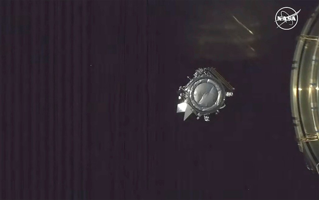
NASA is turning to the public for help with a new Earth-observation mission. Starting September 15, the agency's PACE satellite—short for Plankton, Aerosol, Cloud, ocean Ecosystem—will circle the planet every 98 minutes, collecting data on how clouds and atmospheric particles interact with sunlight. To ensure the satellite's readings are accurate, scientists are asking people on the ground to snap photos of the sky and submit them through a mobile app.
Dr. Andrew Sayer, the PACE atmosphere lead, explained that ground-based observations are crucial for interpreting the satellite's imagery. Each pixel in a PACE image represents roughly 0.75 miles across, which means the space-based view lacks fine detail. "We want to be able to identify whether or not each pixel in a satellite image is a cloud or not," Sayer said. "If it's cloudy, we want to determine the properties of that cloud; if it's not, we want to understand the atmosphere and surface beneath."

The initiative runs from September 15 through October 15. Participants are asked to download the Globe Observer app, which will send alerts when PACE is passing overhead. The timing is critical—observations must be made within five minutes of the satellite's transit. Once outside, users select the "Clouds" tool and capture photos in six directions as instructed. The project is limited to daylight hours.
This crowdsourced effort is part of a broader trend in NASA's use of public participation to enhance scientific research. The PACE satellite, launched in 2024, orbits at an altitude of 420 miles and is designed to provide an unprecedented view of Earth's oceans and atmosphere. Project scientist Jeremy Werdell called it "an unprecedented view of our home planet" at launch.
The data collected could improve weather forecasting, including predictions of hurricane timing and toxic algae blooms. By comparing satellite observations with ground-level photographs, researchers hope to refine algorithms that distinguish clouds from clear sky and better characterize atmospheric conditions.
For those interested in participating, more details are available on the Globe Observer website. The project is open to anyone with a smartphone and an interest in contributing to real scientific research.