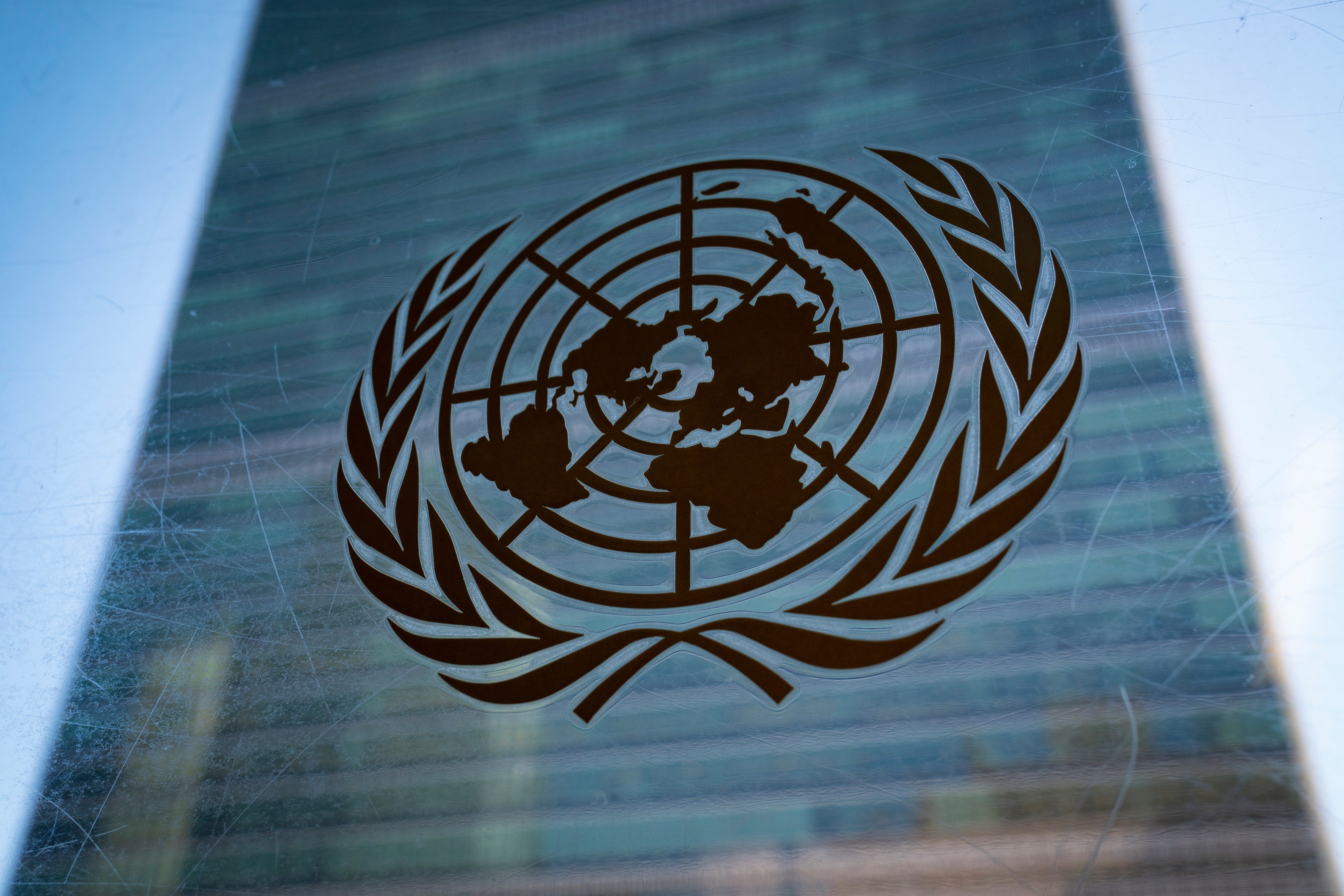
The United States stood alone at the United Nations on Wednesday as the sole nation to vote against a resolution encouraging the use of world maps that more accurately represent the true size of Africa and other landmasses. The measure, known as the "Correct the Map" initiative, passed by a vote of 164 to 1, with six countries abstaining.
The resolution, introduced by Togo, a West African nation, does not mandate the abandonment of the widely used Mercator projection. Instead, it urges governments, schools, and international bodies to consider adopting equal-area projections, such as the Equal Earth map, which better reflect the relative proportions of continents and countries.

Yaryna Ferencevych, the deputy U.S. representative to the U.N. Economic and Social Council, delivered a sharp rebuke of the measure, arguing that it trivialized the institution's core mission. "This resolution mocks the work and purpose of this institution," she said in a statement. "Instead of focusing on genuine problems of international peace, prosperity, or good relations, this body is debating map projections from the 16th century, and their role in promoting reparations and 'cognitive justice.'"
Ferencevych continued, "Resolutions like this and the ideological agenda they promote, are barnacles on our work here, and the reason this institution is losing its credibility. When the United Nations questions why it is losing legitimacy in the world, and is not taken seriously, time and again, we point to resolutions such as this."
The "Correct the Map" campaign, which has gained traction in recent years, points out that the Mercator projection—developed in 1569 for nautical navigation—severely distorts the relative sizes of landmasses, particularly near the poles. Africa, for instance, appears roughly the same size as Greenland on Mercator maps, though the continent is actually about 14 times larger.
The African Union Commission praised the resolution's passage, calling it "a historic step toward accurate and equitable global cartographic representation." In a social media post, the group wrote, "For centuries, the Mercator projection distorted global geography, shrinking Africa to the size of Greenland when our continent is actually 14 times larger. Today's resolution promotes equal-area maps like Equal Earth across classrooms, media, and international institutions ensuring the world map finally reflects Africa's true scale, weight, and place in the world."
The Equal Earth projection, designed by cartographers in 2018, is one of several alternatives that preserve area relationships, though it does distort shapes and angles. Advocates argue that accurate maps are a matter of fairness and recognition, particularly for developing nations that have long been visually diminished on official maps.
The U.S. vote underscores a broader divide at the U.N. over the role of symbolic resolutions versus substantive policy. Washington has frequently criticized what it sees as performative measures that distract from pressing global challenges, a stance that has sometimes put it at odds with the majority of member states. The decision also reflects ongoing tensions over the U.N.'s agenda, which some U.S. officials view as increasingly ideological.
While the resolution is non-binding, its passage sends a strong signal to educators and mapmakers worldwide. Several countries, including those in Africa and Europe, have already begun incorporating equal-area maps into their school curricula. The U.S. remains an outlier, with no immediate plans to adopt such projections in federal materials.
The debate over map projections is not merely academic; it has real-world implications for how people perceive the relative power and importance of regions. As one African delegate noted after the vote, "When we see ourselves as small, we are treated as small. This resolution is a step toward correcting that perception."